Driving Route 32 from SJO to Costa Rica's Caribbean coast — trending 2026 destination, sloth highways, beach towns, and rental tips for Limón province.
Updated
Costa Rica’s Caribbean South — Limón, Cahuita, Puerto Viejo de Talamanca — feels like a different country from Guanacaste. Reggae bars, rice-and-beans with coconut, sloths on telephone wires, and Afro-Caribbean culture draw travelers who want jungle-meets-beach without Pacific resort gloss.
Flight search trends in 2026 show rising interest in this coast as a standalone road-trip destination. Here is how to drive it with a rental from SJO.
The main route: SJO → Limón → south
Segment 1: Route 32 through Braulio Carrillo (~1.5 hours)
- Spectacular rainforest highway — rain common, landslides rare but possible green season
- No 4×4 needed — fully paved
- Scenic pull-offs — stop only in designated areas
- Toll booth near San José — carry colones (peajes guide)
Segment 2: Limón town (~30 minutes through)
- Port city — functional, not picturesque
- Stock snacks, ATM if needed
- Do not linger parked with luggage visible
Segment 3: Coastal road south (~1.5 hours)
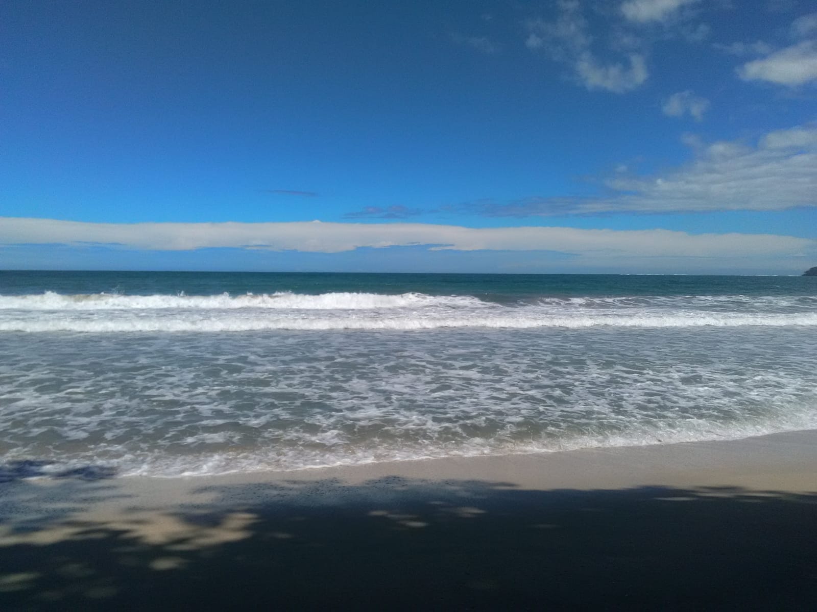
- Cahuita — national park, reef snorkeling, relaxed town
- Puerto Viejo — surf, nightlife, Jaguar Rescue Center nearby
- Pavement with occasional rough patches post-storm
Total: 4–4.5 hours with one stop — do not underestimate after SJO pickup day.
Vehicle choice
2WD compact SUV or sedan handles the corridor. 4×4 only for:
- Side roads to Gandoca-Manzanillo Wildlife Refuge
- Remote eco-lodges off Highway 256
- See 4×4 route guide
What to do along the drive
| Stop | Why stop |
|---|---|
| Guápiles | Last major supermarket before coast |
| Cahuita | National park beach trail, sloths |
| Puerto Viejo | Base for 2–3 nights |
| Manzanillo | Quieter end-of-road village |
Caribbean-specific driving notes
- Rain — afternoon downpours year-round; wipers and patience
- Cyclists and pedestrians on coastal road — slow passes
- No street lighting south of Limón — avoid night arrival
- Waze reports potholes after heavy rain
Culture and logistics
- English widely spoken in Puerto Viejo; Spanish still primary in Limón
- Cash useful at small sodas; cards work in tourist zones
- Wildlife: Sloths and monkeys near road — never stop on blind curves for photos
Rental insurance reminder
Caribbean humidity and sudden rain do not change mandatory LI — same counter dynamics as LIR/SJO. Review 7 red flags and insurance layers before departure.
Pairing with other regions
Caribbean is opposite coast from LIR beaches — awkward to combine in short trips. Better patterns:
- SJO → Caribbean → return SJO (focused trip)
- SJO → Arenal → Caribbean (long loop — ambitious)
- Full circuit: 7-day road trip variant skipping Pacific
Bottom line
The Caribbean South is paved, reachable, and culturally distinct — a trending 2026 alternative to Pacific crowds. Drive daylight from SJO, base in Puerto Viejo or Cahuita, and treat the Braulio Carrillo approach as part of the adventure. Your rental pays off in sloth stops and reef mornings shuttles cannot schedule.
Frequently asked questions
Is it safe to drive to Puerto Viejo from San José?
Yes — Highway 36/32 is a major paved route used daily by tourists and locals. Drive daylight, watch rain on Braulio Carrillo section, and use Waze for hazards.
How long is SJO to Puerto Viejo by car?
About 4–4.5 hours (210 km) via Route 32 through Braulio Carrillo National Park and Limón, then south on coastal road to Puerto Viejo.
Why is Caribbean Costa Rica trending in 2026?
Search interest surged as travelers seek alternatives to crowded Pacific beaches — Afro-Caribbean culture, sloth sanctuaries, Cahuita reef snorkeling, and reggae-town vibe in Puerto Viejo.