SJO to Quepos and Manuel Antonio National Park by car — drive times, parking, 4×4 advice, and the best coastal stops en route.
Updated
Manuel Antonio pairs rainforest wildlife with accessible Pacific beaches — one of the most requested routes on traveler blogs from Tout Costa Rica and English forums alike. With a rental car you control park entry timing, beach sunsets, and spontaneous stops on the Coastal Highway.
Route: SJO → Manuel Antonio / Quepos
Typical path:
- Route 27 west (tolls — carry colones or card)
- Connect to Coastal Highway 34 south toward Quepos
- Follow signs to Manuel Antonio village or your lodge
| Segment | Time (approx.) |
|---|---|
| SJO → Route 27 toll segment | 45–60 min |
| Highway 34 to Quepos | 2–2.5 hrs |
| Quepos → Manuel Antonio village | 10–15 min |
Use Waze — details in driving in CR guide.
From LIR (Liberia): 4.5–5.5 hours — better as part of a loop than a first-day drive after landing.
Road conditions
- Highway 34 is mostly paved and scenic; occasional construction zones
- Hills and curves — average speeds lower than map estimates
- Night driving: avoid if possible; trucks and missing streetlights on sections
- Rainy season: hydroplaning risk — reduce speed on 34
State of roads nationally: 4×4 guide.
Vehicle choice
| Lodging type | Vehicle |
|---|---|
| Town hotels, paved access | Compact SUV / 2WD SUV |
| Hilltop lodge, unpaved last km | 4×4 or high-clearance AWD |
| Family + gear | Midsize SUV |
Email the hotel: “Is access road paved? Grade? 4×4 required?”
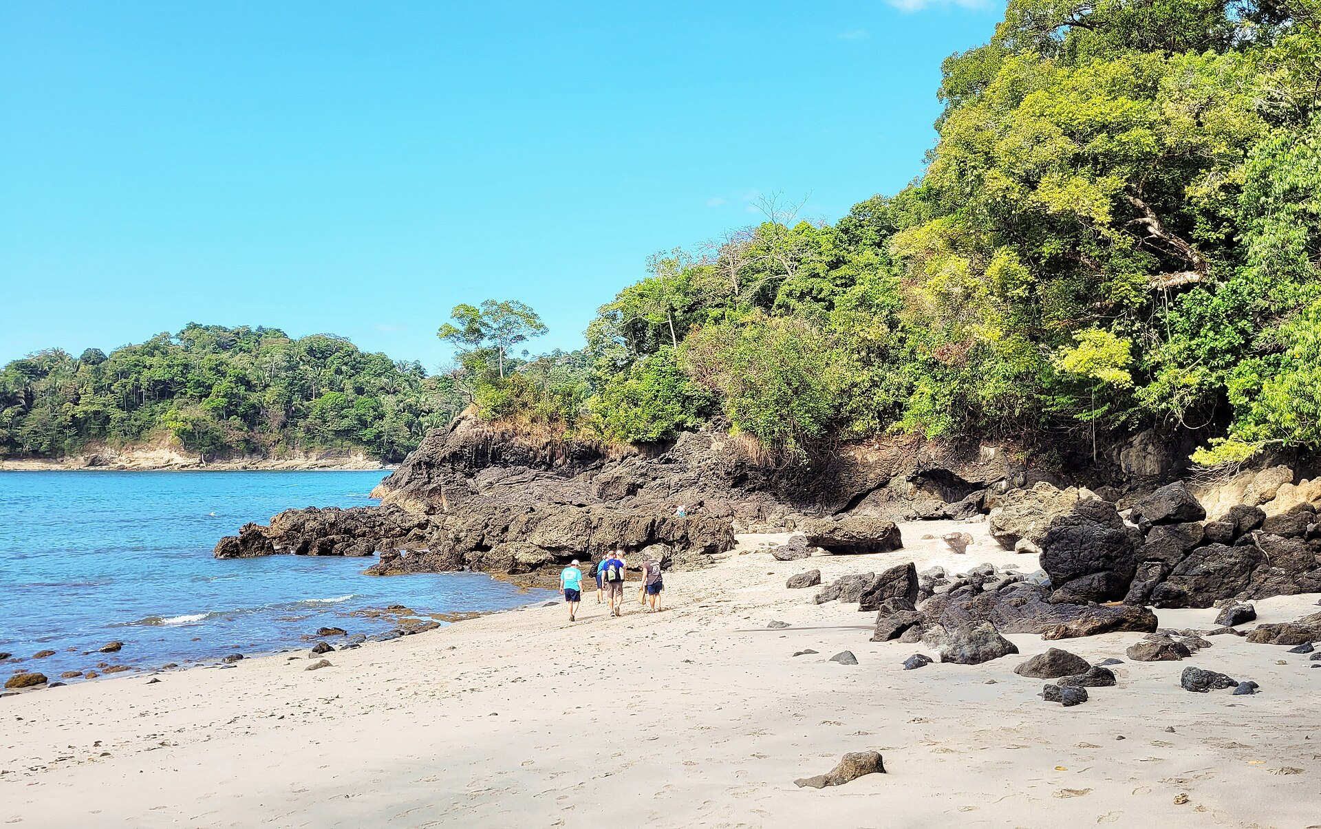
Manuel Antonio National Park logistics
- Hours: morning entry most productive for wildlife
- Parking: use marked lots; attendants expect small tip
- Tickets: buy official park entry in advance when system allows
- Gear: water, closed shoes, no drones
Combine with insurance peace of mind — rental damage is separate from park fines.
Quepos vs Manuel Antonio village
- Quepos: supermarkets, gas, cheaper meals
- Manuel Antonio village: restaurants, nightlife, closer to park gate
- Traffic: narrow hill road between them — patience in high season
Stops en route
- Tárcoles crocodile bridge — quick wildlife stop on 34
- Jaco / Hermosa — surf towns if you want a break (watch weekend traffic)
- Orotina fruit stands — cash for snacks
Parking and security
- Use hotel parking when available
- No valuables in car at beach lots
- Lock doors; window tint does not stop break-ins
Counter scams are unrelated to park safety but affect your budget — 7 red flags.
Sample day pairing
| Day | Plan |
|---|---|
| Arrival | SJO pickup → coastal drive → sunset beach |
| Park day | Early park entry → afternoon pool |
| Departure | Return toward SJO or continue 7-day loop |
Rental prep
- Book early for dry season — high-season guide
- SJO pickup walkthrough: airport guide
- Compare list prices: homepage table
Manuel Antonio is why many visitors rent at SJO — plan the drive, park early, and keep the first day light after pickup.
Frequently asked questions
How long is the drive from SJO to Manuel Antonio?
About 3–3.5 hours on Route 27 and Coastal Highway 34 in good conditions. Add time for tolls, rain, or Sunday traffic from San José.
Do I need a 4×4 for Manuel Antonio town?
The town and main hotels are on paved roads — compact SUV is fine. 4×4 helps only if your lodge is on a steep unpaved access road — confirm with the property.
Where do I park for Manuel Antonio National Park?
Official lots near the park entrance; arrive before 7:30 AM in high season. Never leave valuables visible — use paid lots with attendants.
Can I combine Manuel Antonio with Monteverde in one trip?
Yes — it's a long driving day (4–5 hours). Many travelers slot it as in our [7-day itinerary](/en/guides/7-day-costa-rica-road-trip/) between cloud forest and SJO return.