SJO and Arenal routes to Monteverde, gravel road reality, 4×4 advice, fog driving, and what to expect on the steepest tourist drive in Costa Rica.
Updated
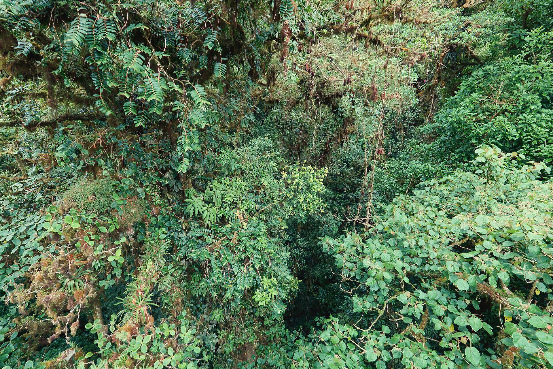
Monteverde’s hanging bridges, quetzal trails, and cloud-forest coffee shops sit at the end of some of Costa Rica’s most infamous gravel — steep, foggy, and slick in green season. The destination is unforgettable; the drive demands respect. This guide prepares you for the road, not just the rainforest.
Why Monteverde tests renters
Unlike Tamarindo’s pavement or Arenal’s highways, Monteverde’s access roads climb 1,400+ meters on winding gravel. Common challenges:
- Steep grades — underpowered sedans struggle fully loaded
- Fog and rain — visibility drops to meters
- Mud — green season (May–Nov) degrades traction
- Contract restrictions — some rentals limit gravel damage coverage
This is the canonical “yes, consider 4×4” route — see full 4×4 route table.
Route options
From La Fortuna / Arenal (~3 hours)
- Route 142 west along Lake Arenal to Tilarán
- Turn toward Monteverde / Santa Elena — gravel climb begins
- Popular combo with Arenal driving guide — allow full daylight
From SJO (~3.5–4.5 hours)
Routes via Sardinal or Las Juntas — Waze compares times. Fill fuel before mountain sections; stations sparse near climb.
From LIR / Guanacaste
Long loop — usually done after Arenal, not direct from beach. Part of 7-day itinerary.
Vehicle and rental checklist
Before leaving pavement:
- Confirm 4×4 or AWD if booked — counters swap categories under pressure
- Inspect tires and spare — gravel punishes flats
- Understand CDW gravel exclusions — insurance guide
- Pack patience — average speeds 15–25 km/h on climb
Driving technique on gravel
- Downshift on descents — ride brakes and overheat them
- Pass only on sight — locals know curves; you don’t
- Yield to uphill traffic when safe — courtesy on narrow sections
- Headlights on in fog — even daytime
- No night driving if avoidable — foreigner driving tips
Santa Elena town vs reserves
Park in town for supermarket, restaurants, banks. Reserves (Monteverde, Santa Elena, Children’s Eternal Rainforest) have dedicated lots — arrive early for quetzal tours.
Cloud forest rain is cold — layer up; parking lots muddy — shoes with grip.
Common pairing with other destinations
- Arenal → Monteverde → Pacific — classic loop; exit via Sardinal toward coast
- Monteverde → SJO fly home — long final day; hotel near airport smart
If the road feels beyond your comfort
- Shared shuttles from Arenal operate daily — not failure, just preference
- Reconsider dry season if you booked 2WD to save money — timing matters
Bottom line
Monteverde rewards drivers who match vehicle to road — high clearance, daylight hours, slow speeds, full fuel tank. It is the counterpoint to easy Guanacaste beaches: harder to reach, richer when you arrive. Read insurance and real cost guides before pickup so Monteverde’s magic is not preceded by counter shock at SJO.
Frequently asked questions
Which route to Monteverde is easier?
From Arenal/La Fortuna, the Route 142 to Tilarán then up to Monteverde is popular and scenic (~3 hours). From SJO direct, routes via Sardinal or Las Juntas are longer but skip backtracking.
Is the Monteverde road paved?
The final ascent to Santa Elena is predominantly gravel and steep — not highway pavement. Conditions vary with maintenance and rain.
Can sedans reach Monteverde?
Some dry-season travelers report reaching Santa Elena in sedans with careful driving. Rental companies may restrict gravel roads in contracts — read yours. 4×4 or high-clearance SUV is the prudent choice.