Drive times to Santa Teresa, Mal País, Montezuma, and Nicoya surf towns — ferry vs inland routes, 4×4 advice, and dry-season road tips.
Updated
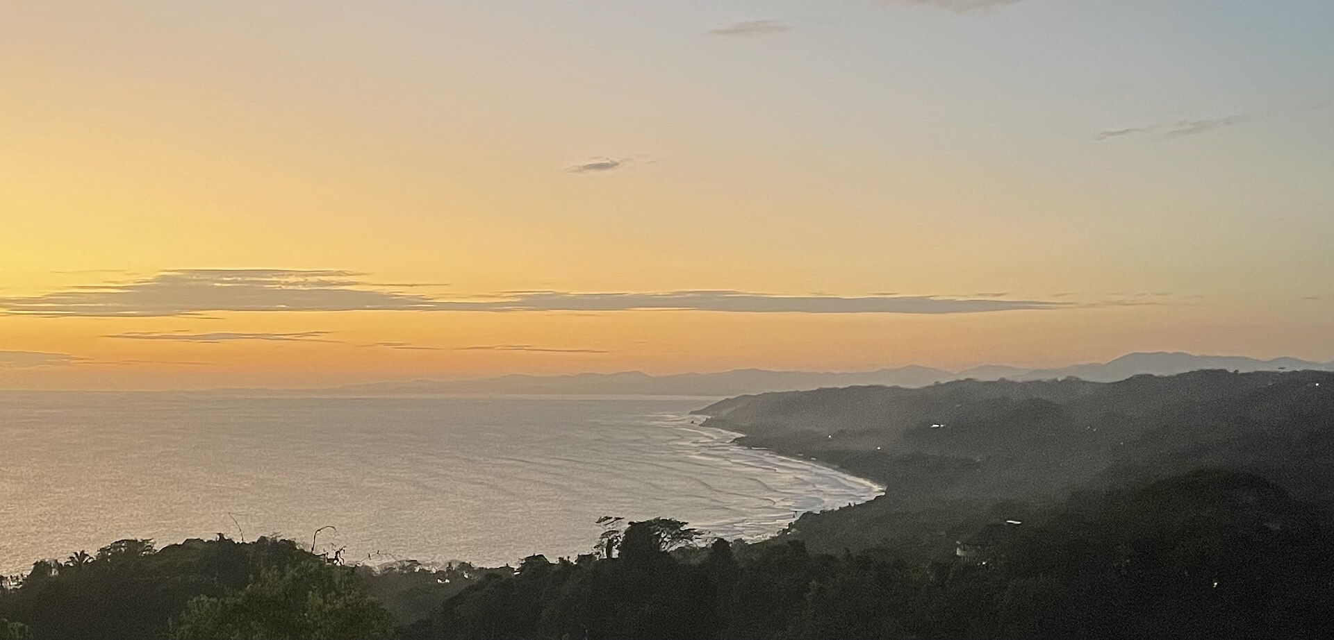
Santa Teresa, Mal País, and Montezuma anchor the Nicoya Peninsula surf-and-sunset circuit — a staple on traveler road-trip lists (including frequent mentions on Costa Rica travel forums). The peninsula is gorgeous but logistically tricky: ferry queues, seasonal mud, and underestimated drive times from SJO.
Why Nicoya is worth the drive
- Consistent surf and yoga-town infrastructure in Santa Teresa
- Mal País quieter vibe south of Santa Teresa
- Montezuma waterfall and turtle nesting seasons nearby
- Less resort-sprawl than northern Guanacaste — still growing fast
Pair with Guanacaste beaches if you start at LIR.
Airport choice: LIR vs SJO
| Start | To Santa Teresa | Verdict |
|---|---|---|
| LIR (Liberia) | ~3.5–4.5 hrs | Best if Nicoya is your focus |
| SJO (San José) | ~5–6+ hrs | OK if volcano + Pacific loop |
LIR pickup guide — book 4×4 early in dry season.
Route A: From LIR (recommended)
- Route 1 south / west toward Nicoya Peninsula roads
- Via Nicoya town or Santa Cruz depending on Waze routing
- South on peninsula roads toward Cobano → Santa Teresa
Drive time: 3.5–4.5 hours without long stops
Roads: Mix of paved highway and graded roads — slower than map estimates
Route B: From SJO via inland Nicoya
- Route 27 west
- Connect toward Puntarenas / Nicoya corridor (Waze varies by closure)
- South through peninsula to Santa Teresa
Drive time: 5–6+ hours
Tip: Leave SJO morning after airport pickup — not after sunset.
Route C: Ferry Puntarenas → Paquera
Some itineraries use:
- Drive to Puntarenas
- Ferry to Paquera (vehicle ferry — buy ticket, queue early peak season)
- Continue south toward Montezuma / Santa Teresa
Pros: scenic, can shorten certain approaches
Cons: schedule dependency, holiday lines, salt air on vehicle
Confirm ferry hours day-of; have colones for tolls and ferry (driving basics).
Montezuma and Mal País
- Montezuma: steep access roads — high clearance helps in rain
- Mal País: south of Santa Teresa — similar road quality
- Waterfall hike: park at designated lots; do not leave bags in car
4×4 decision
| Condition | Vehicle |
|---|---|
| Dry season, paved lodge access | 2WD SUV often fine |
| Green season, hill lodges | 4×4 recommended |
| Monteverde + Nicoya same trip | 4×4 for cloud forest leg |
Full matrix: Do you need 4×4?
Parking, security, and ATMs
- Santa Teresa has ATMs but they empty on holidays — withdraw in Liberia or Nicoya
- Beach parking: paid lots; no valuables visible
- Dirt roads at night — use night driving caution
Sample mini-itinerary (5 days, LIR start)
| Day | Base | Drive |
|---|---|---|
| 1 | Tamarindo or Liberia | LIR pickup → coast |
| 2–3 | Santa Teresa | Surf / yoga |
| 4 | Montezuma | Half-day loop |
| 5 | LIR return | Allow 4+ hrs |
Extend into 11-day loop with Arenal.
Rental prep
- Book early Dec–Apr — high-season guide
- Email one-way cost if returning different airport — one-way guide
- Itemized quote with LI — options + insurance
Santa Teresa rewards drivers who plan airport, ferry, and vehicle class before landing — not travelers who assume “Pacific beach = quick from San José.”
Frequently asked questions
How long is the drive from SJO to Santa Teresa?
About 5–6 hours via inland routes (Route 27 → Nicoya → Naranjo → Paquera ferry or longer via Liberia). Many travelers fly into LIR instead — 3.5–4.5 hours from Liberia airport.
Do I need a 4×4 for Santa Teresa?
Main roads to town are paved or graded — compact SUV works for most hotels. 4×4 helps for rainy-season hill access, river crossings on side roads, and Montezuma hill tracks.
Is the Paquera ferry required?
Not always — you can drive entirely via inland Nicoya (longer). The ferry from Puntarenas to Paquera saves time for some routes but adds schedule planning and vehicle line wait.
Can I drive from La Fortuna to Santa Teresa in one day?
Possible but long (6–8 hours). Split in Monteverde, Liberia, or Tamarindo unless you enjoy marathon driving days.