Paved vs gravel roads, average speeds on highways and tracks, night driving, landslides, and why your GPS ETA is always wrong.
Updated
Travel guides for Costa Rica — including long-running French road resources — repeat the same reality: distances look short on a map but drive long in practice. More than half of interesting tourism access involves gravel, curves, or slow trucks — not four-lane autopistas.
This guide sets honest speed expectations so you plan rental days without 6-hour surprises.
Paved highway reality
| Road type | Posted limit | Real average |
|---|---|---|
| Route 27 (Pacific toll) | 80 km/h | 55–70 km/h |
| Route 1 (north corridor) | 80 km/h | 50–65 km/h |
| Route 32 (to Limón) | 80 km/h | 50–60 km/h (rain, trucks) |
| Coastal Highway 34 | varies | 45–60 km/h |
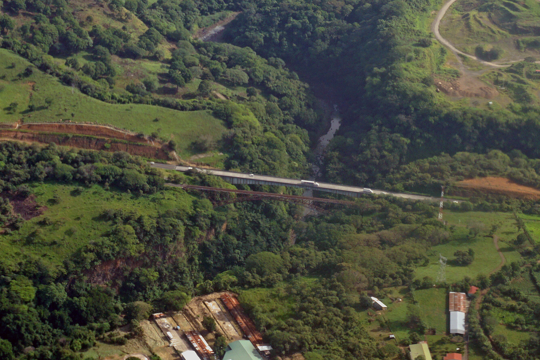
No true multi-lane freeways for most tourist routes — one lane each direction, frequent trucks climbing hills.
Gravel and dirt access
Lodges in Monteverde, parts of Nicoya, Osa, and remote Caribbean hills sit on:
- Graded gravel — OK for high-clearance 2WD in dry season
- Steep rutted tracks — 4×4 recommended year-round
- Seasonal river approaches — confirm with hotel after heavy rain
Average on gravel: 25–35 km/h — add 30–50% to map ETA.
See 4×4 route matrix per destination.
Why GPS ETA lies
Maps assume:
- Constant speed on curves
- No topes (speed bumps) in every village
- No cattle, cyclists, or parked sugar cane trucks
- No construction or one-lane bridge waits
Rule: multiply map time by 1.2× on highways, 1.5–2× on gravel.
Topes (speed bumps)
Unmarked or poorly marked bumps in towns — brutal for:
- Sleeping kids (family guide)
- Suspension on loaded SUVs
- Your rental return inspection (scraped undercarriage disputes)
Slow entering every village sign.
Night driving
| Road | Night advice |
|---|---|
| Route 27 / 1 | Possible short hops — headlights + fog |
| Gravel to lodge | Avoid — get lost, no cell |
| Monteverde access | Avoid — fog common |
| Caribbean 36 south | Avoid — pedestrians |
If dinner run from lodge: short distance OK at crawl speed.
Weather and landslides
Green season (May–Nov):
- Route 32 landslide history — check Waze morning of Caribbean drive
- Mud on Monteverde roads — cloud forest guide
- River crossings on Nicoya side roads — Santa Teresa guide
Build flex day in 11-day itinerary.
Accidents and police
Serious accidents are relatively rare for tourists who drive slowly — but fender benders happen at topes. Police may hold vehicles for paperwork; carry rental emergency number.
Details: driving in CR guide.
Planning drive days
| Distance on map | Plan block |
|---|---|
| < 100 km highway | Half day with stops |
| 100–180 km mixed | Full morning |
| 180+ km or gravel | Full day — one base change max |
Rental implications
- More days = more LI cost — budget real totals
- Gravel increases undercarriage scrutiny at return — walk-around photos
- 4×4 rental makes sense when gravel is daily, not for one 2 km lodge spur
Slow driving is not fear — it is how Costa Rica actually works. Plan fewer bases with more nights; the country rewards depth over mileage.
Frequently asked questions
What is the average driving speed in Costa Rica?
On highways posted 80 km/h, expect ~50–65 km/h average with traffic and curves. On gravel tracks, ~25–35 km/h is normal — not the speed map apps suggest.
How much of Costa Rica is unpaved?
A large share of rural and tourist access roads are gravel or partially maintained — especially lodge access, Nicoya side roads, and Monteverde approaches.
Is night driving safe on main highways?
Possible on Route 27 and 1 with caution, but avoid when you can — poor lighting, pedestrians, animals, and fog on mountain sections. Gravel at night is strongly discouraged.
Do landslides close roads?
Yes in green season on Route 32 (Caribbean) and some mountain routes. Waze and local news help; always have a backup day in itinerary.